Textomap: Transform Text into Interactive Maps Instantly
Website
Description
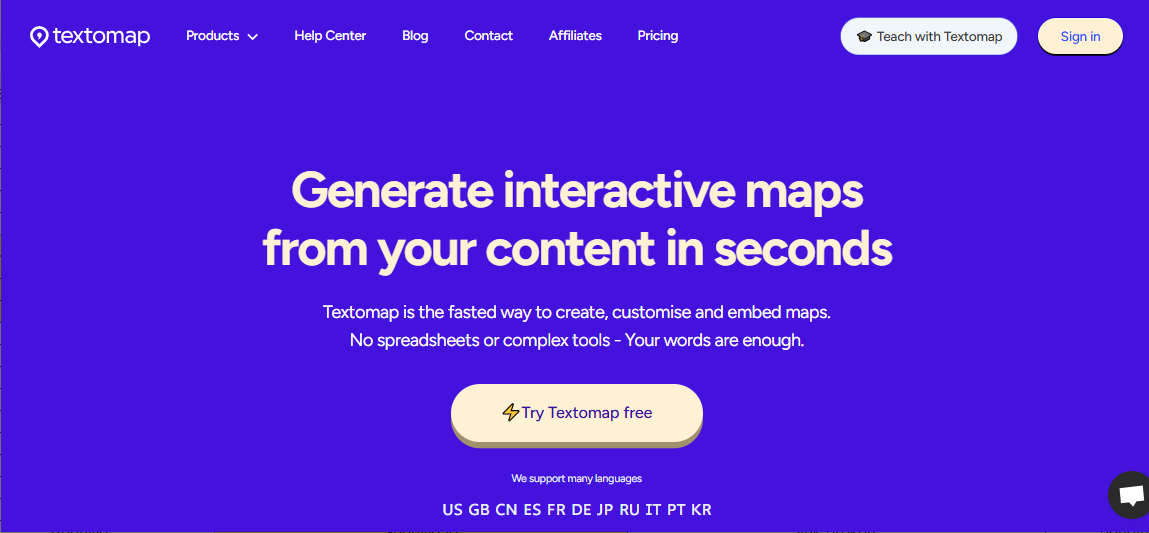
In a world where visual representation enhances communication, Textomap emerges as a groundbreaking tool, bridging the gap between text and geography. This AI-powered platform transforms textual location data into engaging, interactive maps within seconds. Whether you’re a content creator, educator, or traveler, Textomap simplifies the process of map creation, saving time and enhancing the presentation of location-based information.
How Textomap Works
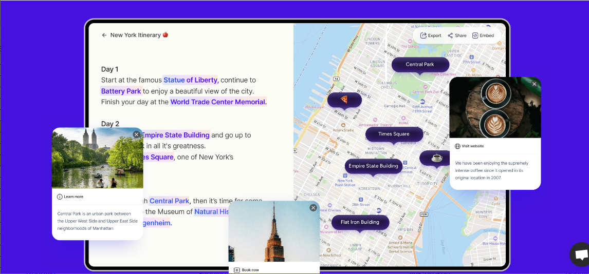
Textomap leverages advanced AI to extract location data from text and convert it into a fully interactive map. The process is simple yet powerful:
- Input Your Text: Paste or type any text containing location details—be it an itinerary, article, or social media post.
- AI Extracts Locations: It's AI scans the text, identifies geographical mentions, and extracts precise location data.
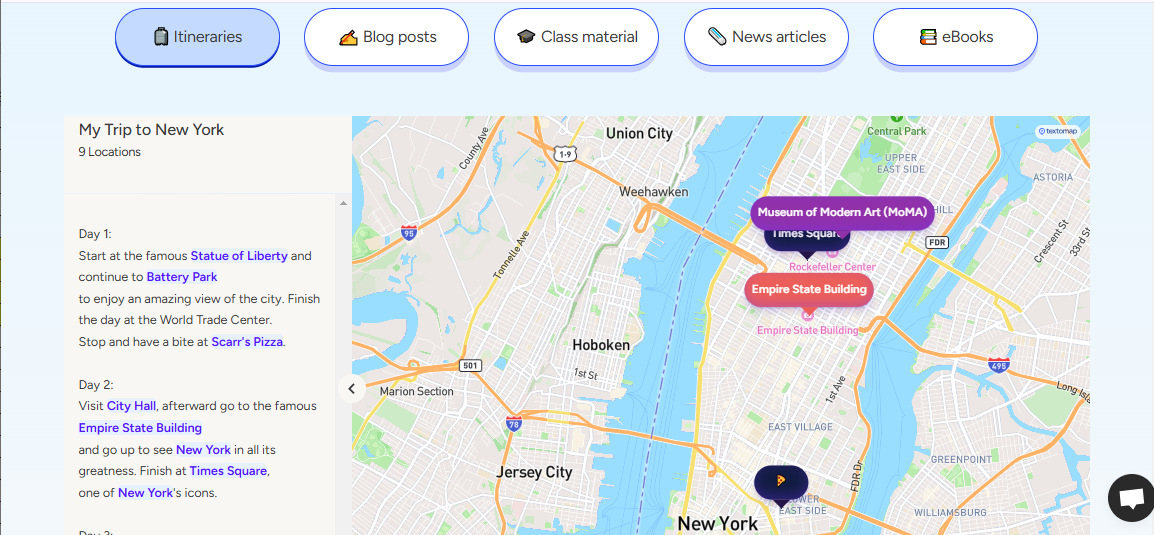
- Generate the Map: The platform plots these locations on an interactive map with markers.
- Customize and Enhance: Personalize the map by adding labels, descriptions, markers, and even images to enrich the content.
- Embed and Share: Export the map as an embeddable element for websites or blogs, or share it directly with others.
Key Features and Functionalities
Textomap stands out with its robust features designed to simplify and elevate map creation:
- AI-Powered Map Generation: Automatically converts location-based text into dynamic maps.
- Support for Various Text Formats: Works seamlessly with articles, itineraries, blog posts, and even social media content.
- Customizable Maps: Add markers, labels, images, and descriptions to create visually engaging and informative maps.
- Embeddable Maps: Easily integrate interactive maps into websites, blogs, or presentations for enhanced engagement.
- Multilingual Support: Process location data in multiple languages, making it a truly global tool.
- User-Friendly Interface: Designed for simplicity and accessibility, even for non-technical users.
Use Cases and Examples
Use Cases
Textomap offers versatile applications across different fields and professions:
- Travel Planning: Create interactive itineraries highlighting destinations, routes, and key points of interest.
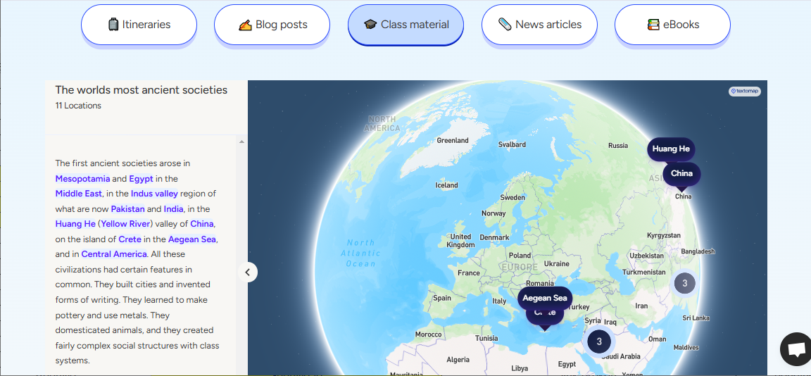
- Educational Content: Visualize historical events, literary locations, or geographical data for enhanced learning materials.
- Blogging and Journalism: Enrich articles or posts with maps that provide spatial context to the content.
- Presentations and Reports: Use dynamic maps to present data or tell stories in business or academic settings.
Examples
- Travel Blogger: A travel blogger creates a map showcasing their journey through Europe, marking each city visited along with descriptions and photos.
- History Teacher: A history teacher visualizes the locations of key World War II battles, enriching classroom discussions with geographical context.
- Event Organizer: An event planner shares an interactive map of venue locations for an upcoming conference.
User Experience
Textomap is designed with user convenience in mind, emphasizing:
- Efficiency: Eliminate the tedious process of manual map creation with automated AI-driven functionality.
- Engagement: Interactive elements captivate audiences, making maps more than just static visuals.
- Accessibility: The platform’s intuitive interface and multilingual support ensure that anyone can use it effortlessly.
Pricing and Plans
Textomap caters to a diverse audience with flexible pricing options:
- Free Plan: Ideal for beginners with limited features and basic functionality.
- Paid Plans: Unlock advanced capabilities, such as higher customization, increased usage limits, and premium support.
Competitors
Textomap operates in a competitive market, yet distinguishes itself with its AI-driven approach:
- Google Maps: Powerful mapping tools but lacks AI-powered text-to-map functionality.
- Mapbox: Offers customization but requires technical expertise.
- BatchGeo: Focuses on batch data processing, unlike it’s intuitive text-to-map capability.
Unique Selling Points
- AI-Driven Automation: Converts text into maps effortlessly, setting it apart from manual map creation tools.
- Wide Format Compatibility: Processes text from diverse sources, enhancing usability across different domains.
- Global Accessibility: Multilingual support ensures the tool can cater to users worldwide.
- Interactive Engagement: Embeddable and customizable maps elevate content, providing an immersive experience.
In an era where visual storytelling is crucial, Textomap emerges as an indispensable tool for anyone working with location-based information. Its AI-powered capabilities simplify the creation of interactive maps, making it a game-changer for content creators, educators, and businesses alike.
Sign up today and revolutionize how you visualize and share location-based content. Start mapping smarter with Textomap now!
